
CONTENTS
A MAGNIFICENT HIKE 👟
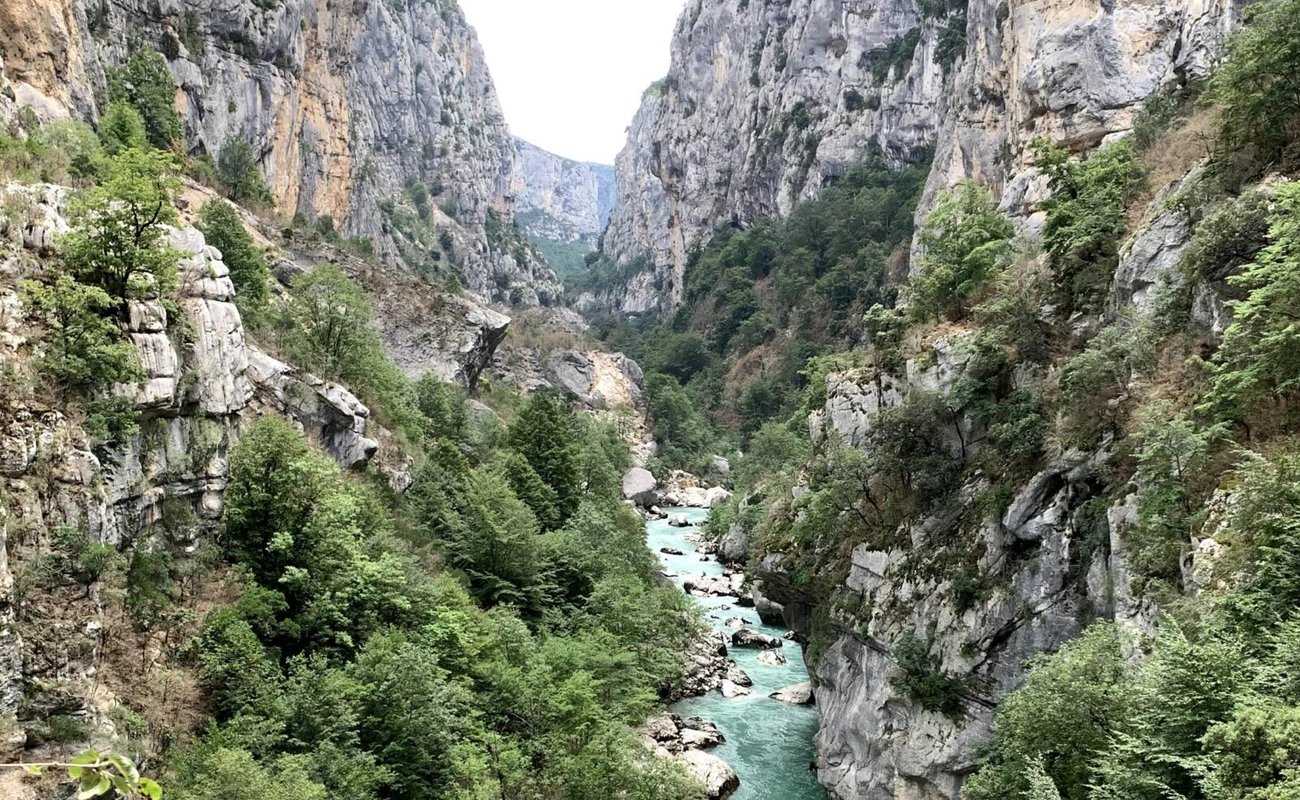
This hike is without a doubt one of the most beautiful I’ve done in the Verdon! The Sentier de l’Imbut lets you discover the Verdon from the heart of the river. You’ll find stunning scenery all along the way. Be respectful of the environment by keeping your trash and staying quiet in certain spots (a bat cave, for example)… So that nature stays accessible to everyone. 🏞️
After our weekend in Tourtour in our quirky accommodation, the fairy-tale cabin, we decided after some research to do this day hike (we were 45 minutes away by car).
To be clear, the Sentier de l’Imbut, the Descente des Cavaliers and the Sentier Vidal are one and the same walk. The Gorges du Verdon have real charm, even more so when the weather is nice. ☀️ I recommend doing this walk from spring onward, when the nice weather is here.
INFORMATION & PRECAUTIONS ℹ️
It’s still a 5-hour hike in the Gorges du Verdon with a big elevation change (1,000 meters down at the start, then 1,000 meters back up). The trail was redeveloped in 2018, with work done on some sections that are now much less slippery.
👉 Here are a few tips so you can set off with peace of mind:
- The difficulty is moderate/difficult: if you go with kids, they should be at least 6 or 7, and it will depend on everyone’s fitness. There’s a big elevation change that will be grueling and exhausting on the climb back up 🥵
- If you’re stressed or scared because these are your first hikes, you can hire a guide to accompany you for the whole walk.
- Check the water releases: if you want to take your most beautiful photos of the river, find out beforehand.
- For gear, wear trail shoes or good sneakers. Whatever you do, don’t go in sandals or you risk a sprain….
- As for water 💦, never skimp, even if it makes your backpack heavier: it’s vital, so take at least 2 liters per person (whatever you do, don’t forget it).
- As for your backpack, if you have one specifically for hiking, it’ll be more comfortable for your back. Otherwise, any backpack will do for your snacks and food if you eat during the hike.
- Don’t forget to bring an emergency blanket; it can always come in handy.
Finally, you’re on a trail down below: if you have a physical problem during your hike in the Gorges du Verdon (sprain, fall, dehydration…), you’ll be rescued by helicopter winch. 🚁 Getting help can take a while.
When we went in June 2020, we often heard the helicopter in the valley. Especially since this trail is getting more and more touristy.
GETTING TO THE TRAIL & ROUTES 🪧
Now for the most interesting part: the route, with all the useful information for the best hike on the Sentier de l’Imbut.
You can start this walk from two access points. We used the first, which is the simplest and most convenient, on the left bank via the Descente des Cavaliers. You’ll be amazed! 🤩 As for timing, at a good pace allow 5 hours, or even 6 to 7 hours if you stop to eat or want to go as far as the Baou Béni.
For all the hikes I plan, I use the site visiorando.com (for me, it’s the best site for planning your hikes).
HERE WE GO 🥰
1️⃣ First, park at the Cavaliers parking lot (in summer, it’s very often full); you’ll then have to park a little farther away, but you’ll find spots nearby.
As soon as you’re ready (don’t forget your water bottles), walk down about 50 meters and you’ll see a sign marking the start of the hike.
THE DESCENT 🏃
2️⃣ You’re off to descend 1,000 meters; normally, in 30 minutes, you’ll reach the Estellié footbridge (you can go onto it, but to continue, stay on the left bank).
3️⃣ All along your hike, the river will be on your right. Depending on the season, you’ll only think of one thing: swimming. It’s FORBIDDEN if you don’t want to die swept away by the current; you’d have no chance.
All along the walk, you’ll see memorial plaques showing the danger of this river when it overflows.
THE SENTIER DE L’IMBUT 🔥
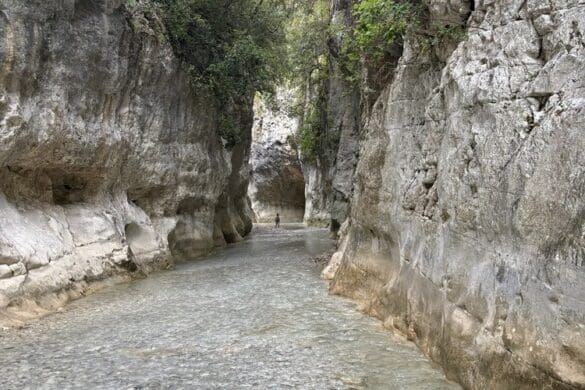
4️⃣ You’ll come across pebble beaches, caves and exceptional scenery and spots. To get through, you’ll sometimes be 5 or 6 meters up the cliff, with a handrail and, above all, a nice wide path.
LEFT OR RIGHT 🙃
5️⃣ About 60% of the way through the hike, you’ll have a choice:
- Either take the path on the right to go see the Baou Béni (we didn’t do it) and then retrace your steps to continue the trail.
- Or go left, and that’s the start of the climb from hell. It’s a steep climb, so remember to take breaks and drink plenty.
Follow the path; once you’ve crossed the road, the hard part is over and you can get back to your car. 🚗 Here’s the map you can follow on Google Maps to check you’re on the right route using your location.
MY REVIEW & MY TIPS 
With all this information, I think you’re pretty well informed and have everything you need to succeed! I’ll say it again: this hike is really beautiful, especially when it’s sunny and warm. Check the weather before you go, bring water and good shoes, and off you go!
The walk is long, but that takes nothing away from its charm. It’s moments like this that make you realize you don’t necessarily need to go abroad for stunning scenery: France is full of magnificent places.
THANK YOU FOR YOUR FEEDBACK 
If you have any questions or comments about this article, or simply enjoyed it, feel free to leave a comment! Thank you for following me.